Maps
Maps of Muslim history, 632 to 2026
Eleven maps of the Muslim world, each at a turning point. Open one to zoom in, compare its frontier with another century and tap the battles that shaped it.
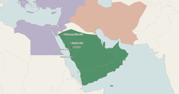
632The Prophet's state in Madinah610 to 632
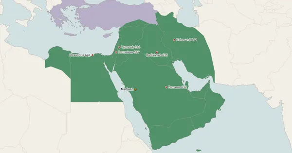
644Abu Bakr and Umar: the great conquests632 to 644
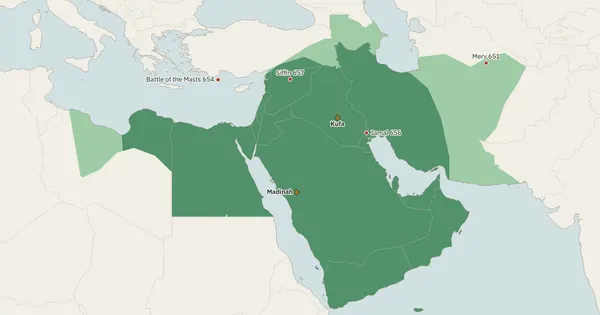
661Uthman, Ali and the first civil war644 to 661
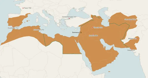
750The Umayyads of Damascus661 to 750
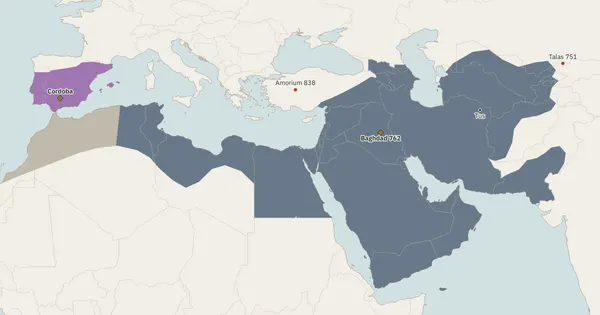
800The Abbasid golden age750 to 945
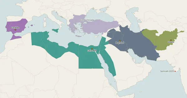
1000Three caliphs at once909 to 1055
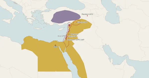
1190The Crusades and Salahuddin1071 to 1192
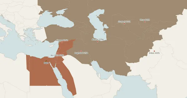
1260The Mongol storm1219 to 1260
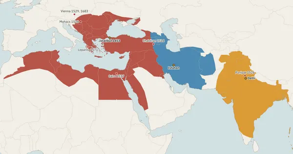
1683Three gunpowder empires1453 to 1707
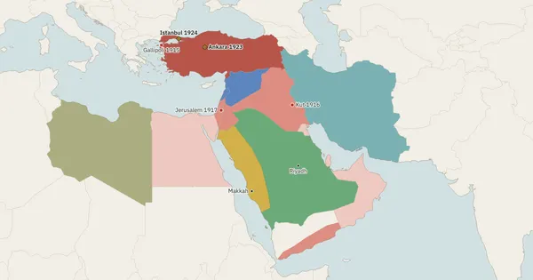
1923The end of the caliphate1914 to 1924
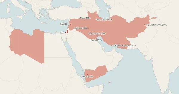
2026Nation states and modern wars1948 to 2026
How the maps are made
Frontiers are drawn from historical atlases and the standard narrative histories, then laid over modern coastlines and country borders so you can place them. Pre-modern borders were rarely fixed lines, so treat every frontier as approximate. Sources.
Also see
The dynasty timeline shows who ruled when, and empires compared shows how big each state became.
The book, 75% off
Read the whole story in Urdu
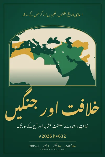
Khilafat aur Jangen puts this history in one Urdu PDF: 64 pages, 14 maps, family trees, charts and timelines from 632 to 2026.
$1.50$6.0075% off